This is a narrow and deep canyon defined by the Juchipila River and formed by the walls of the Sierra de Morones and the Sierra de Nochistlán. Its altitude ranges between 1,200 and 1,300 meters.
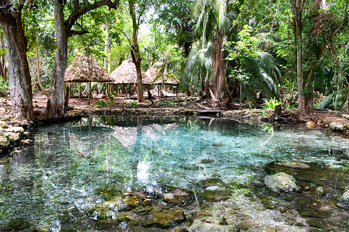
Along the canyon's slopes, there are numerous thermal springs.
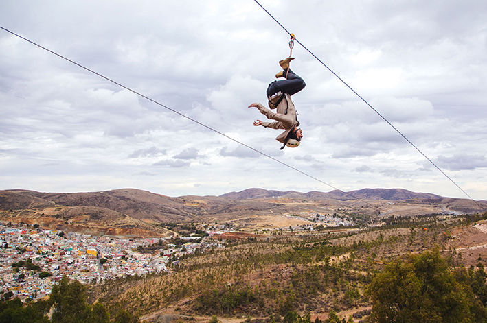
You can find sheer walls suitable for various recreational and adventure activities.
Near the southern end of the canyon, the archaeological site of Cerro de las Ventanas is located on one of the highest cliffs. It is characterized by openings that resemble windows.
Activities
Camping
Mountain Climbing
Observing flora and fauna
Rappel
Hiking
Location
It is located approximately two hours from Teúl de González Ortega.