It is a corridor that is located within the metropolitan area of Guadalajara and extends from Totolotlán to the southeast and to Arroyo del Osorio passing through the Puente Grande, Puente Rómulo, Colimilla and Intermedia Dam.
The landscape is extraordinarily beautiful, offering cliffs, islets, beaches, mangroves and practically unexplorable areas.
The ravine was carved by the cause of the Santiago River and offers wonderful landscapes with abundant vegetation, which you can see from the Rómulo O'Farril, Fernando Espinosa and Puente Grande bridges.
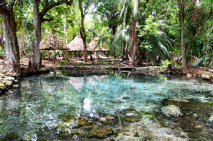
One of the most beautiful places within the canyon is Las Pilitas, which are a set of natural hot springs that reach temperatures of up to 40ºC.
Activities
Hot Springs
Mountain biking
Observing flora and fauna
Hiking
Location
You can get there by taking the Periférico Norte until you reach Tonalá, and then take Av. Tonaltecas until you find the signs indicating Colimilla. Located 10 km, approximately 20 minutes from Tonalá.