The river is the natural border between Mexico and Belize, with an approximate length of 209 km, and it is the largest surface stream on the Yucatan Peninsula.
The ancient Maya called it Nohoch Ucum, due to its great size. It served as a trade route between the various settlements on both banks due to its easy navigation.
The river runs through the jungle and 250 years ago, it was used as a waterway to extract the precious Campeche wood that was exploited in the region. Some years later, it was also used to transport natural chewing gum extracted from the chicozapote tree, mahogany, and other precious woods.
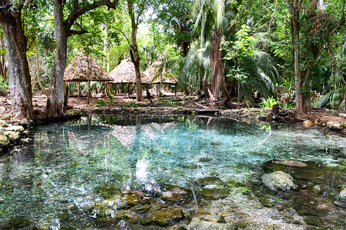
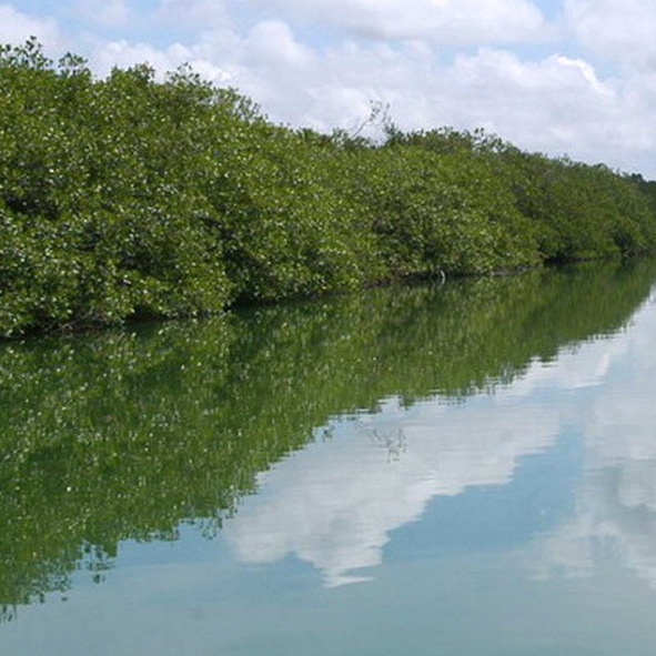
Traveling the river by boat or kayak is a unique experience where you can discover springs, streams, cenotes, and lagoons. You can even navigate the route used by the pirates from Chetumal to Bacalar, crossing the Chac Estuary. You can explore various channels surrounded by mangroves adorned with orchids and enjoy the jungle, which is home to a great biodiversity.
By navigating downstream, you can reach El Palmar, a former chicle camp that has now become a popular recreation area.
Activities:
Kayak
Boat tours
Hiking
Location
Located approximately 69 km, about an hour's drive from Chetumal.