Mayan Archaeological Sites in Yucatán

Archaeological Sites in Oaxaca

Archaeological Sites in Chiapas

Arqueología Campeche

Northern Mexico
Central Mexico
Central Mexico
Mayan Archaeological Sites in Yucatán

Archaeological Sites in Oaxaca

Arqueología Chihuahua
Arqueología Campeche

Northern Mexico
Central Mexico
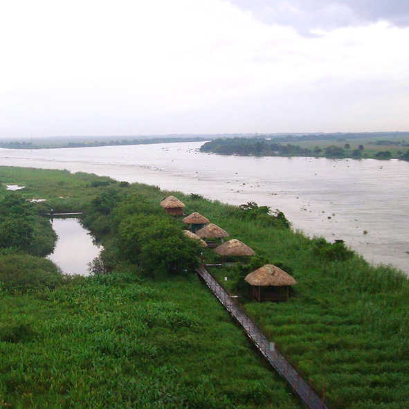
It is a site related to the Mayan culture.
Its name means "reflection of water", a name that derives from its location on the banks of the Usumacinta River on top of a hill.
The city had a strategic location, since all the boats that circulated through the Usumacinta had to pass through the site.
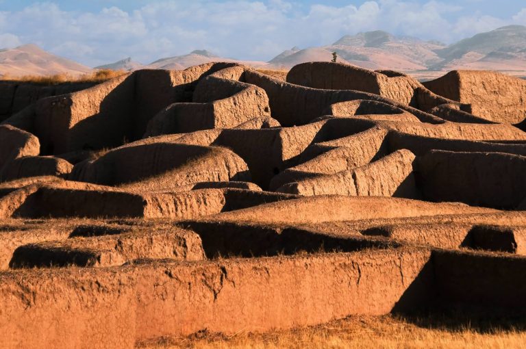
Must see Buildings
The city is composed of several buildings built with limestone. One of the most important buildings is Structure 16, a pyramid with a height of 30 meters on top of the Acropolis platform with a panoramic view of the Usumacinta. In the upper part you can still appreciate the walls of a room, so it is believed that there was a temple.
Another important finding is the Stela I, dated to A.D. 830, the inscription show a glyph of the neighboring city of Pomoná.
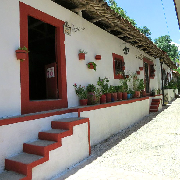
Panhalé

Location
It is located about 5 km from Tenosique de Pino Suárez, on the right edge of the Boca del Cerro canyon. To get there from Villahermosa you must take federal highway 186, Villahermosa-Escárcega, until you reach the junction with highway 203, Emiliano Zapata-Tenosique, then travel 50 km until you reach the archaeological zone signpost and you have to take a dirt road that leads to the site.